

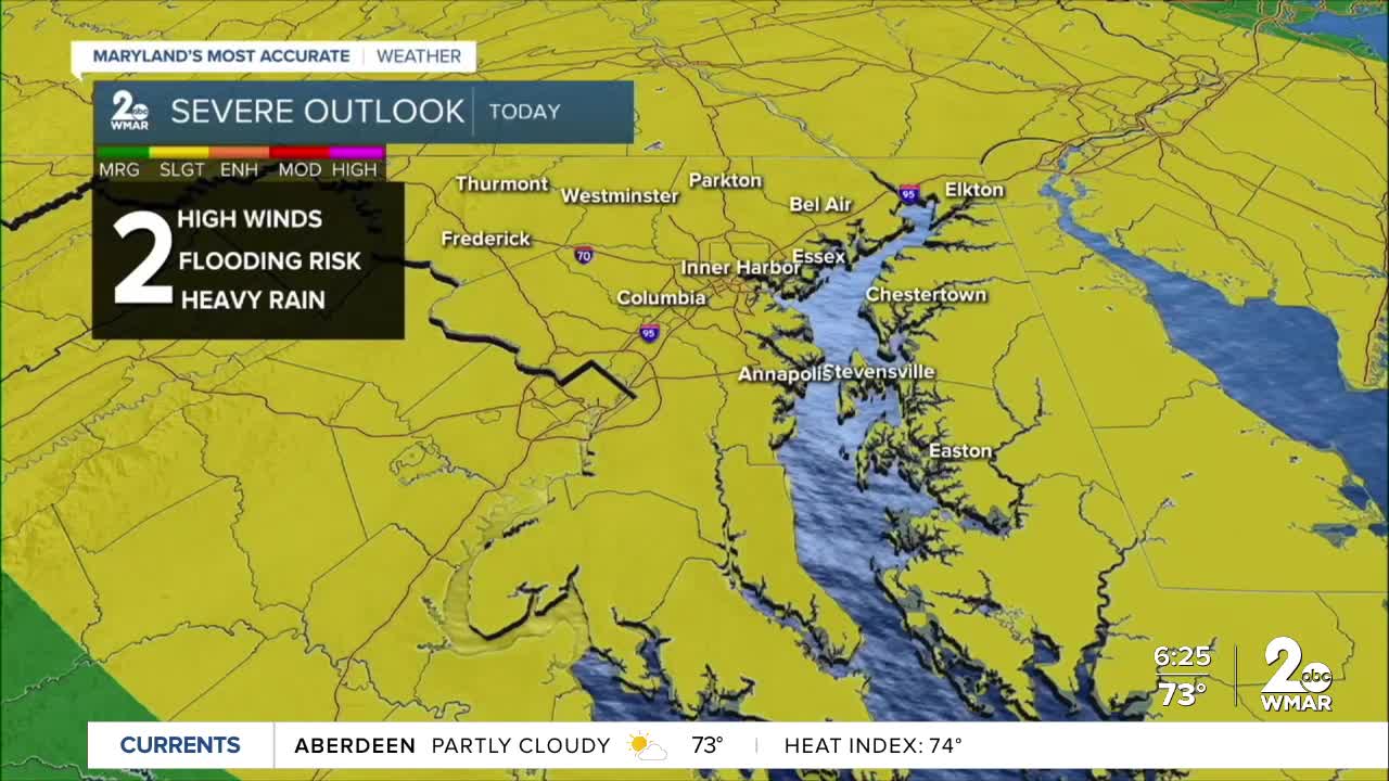

The line of strong to severe thunderstorms that went through on Wednesday during the early afternoon hours maxed our official high temperature at BWI at 81! Temperatures dropped into the 70s after the storms passed, and with no breaks of sunshine, the temperatures stayed there. More storms are forming in western PA this evening, and those storms could graze our northern counties up around the state line around midnight, give or take a few hours.
Full sunshine Thursday morning will mean a hotter day with just as much humidity, and the frontal boundary we've been tracking all week will head back toward us as a cold front, lifting the atmosphere and causing more storms. It's possible they'll form a line like Wednesday's; otherwise they'll stay scattered. But they all have the potential for gusty winds and heavy downpours.
The front will pass to our south on Friday, and high pressure moving into New England will bring us back to more seasonably highs with lower humidity for the weekend.

Wednesday Night
Showers and thunderstorms possible before 5am, then a chance of showers. Increasing clouds, with a low around 76.
Thursday
A chance of showers before 8am, then a chance of showers and thunderstorms after 11am. Mostly sunny, with a high near 92.
Thursday Night
A chance of showers and thunderstorms before 2am. Mostly cloudy, with a low around 73.
Friday
A chance of showers and thunderstorms, mainly after 2pm. Partly sunny, with a high near 90.
Friday Night
A chance of showers and thunderstorms before 8pm. Mostly cloudy, with a low around 70.
Saturday
Sunny, with a high near 83.
Saturday Night
Mostly clear, with a low around 64.
Sunday
Sunny, with a high near 82.
Sunday Night
Mostly clear, with a low around 61.
Labor Day
Mostly sunny, with a high near 82.
Monday Night
Partly cloudy, with a low around 65.
Tuesday
Mostly sunny, with a high near 83.

