

Today's Taco Tuesday forecast is looking terrific! Tons of sunshine with slightly milder temperatures, in the lower-70s across central Maryland! Winds will become southerly for the next few days, keeping high temperatures above normal, in the lower-70s. Here is what you will need to wear today:

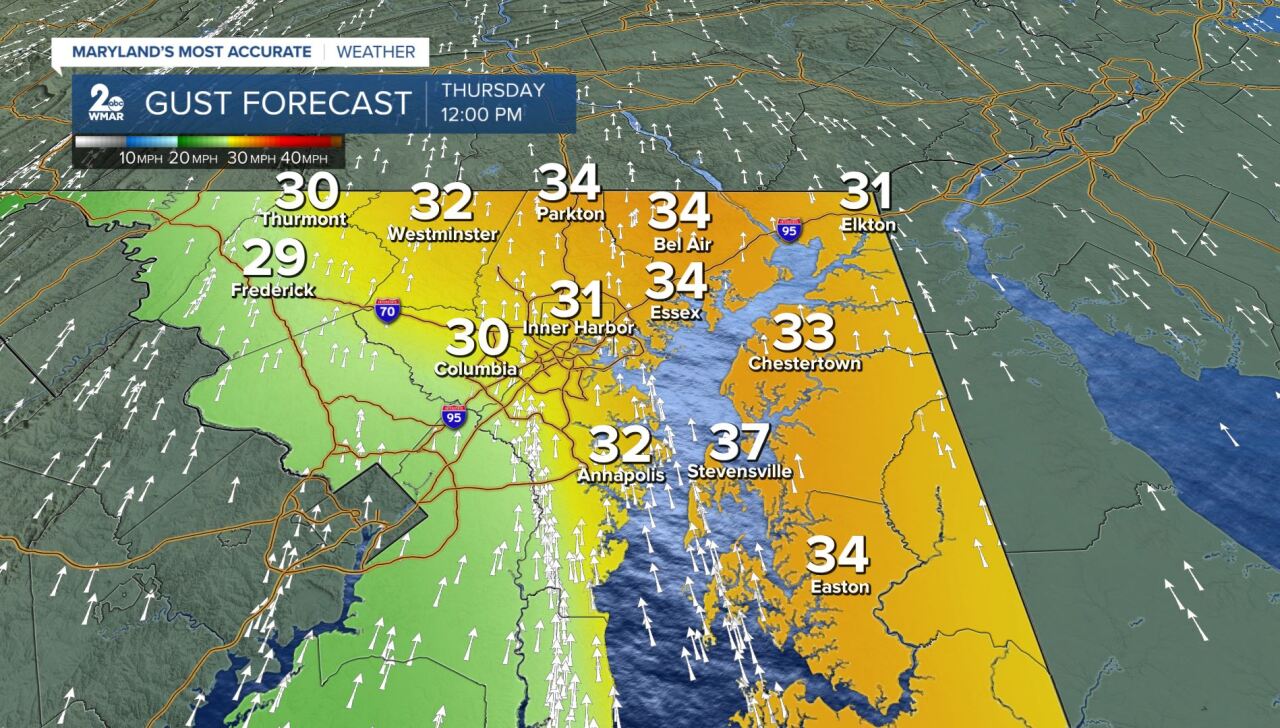
Clouds increase Wednesday as a cold front approaches from the west. Showers should hold off until late Wednesday night (around midnight). This cold front could spark a few thunderstorms as it moves across the area on Thursday. Southerly winds will turn gusty ahead of the cold front, up to 35 mph at times. Localized strong gusty winds will be the main concern within any stronger storms that form.


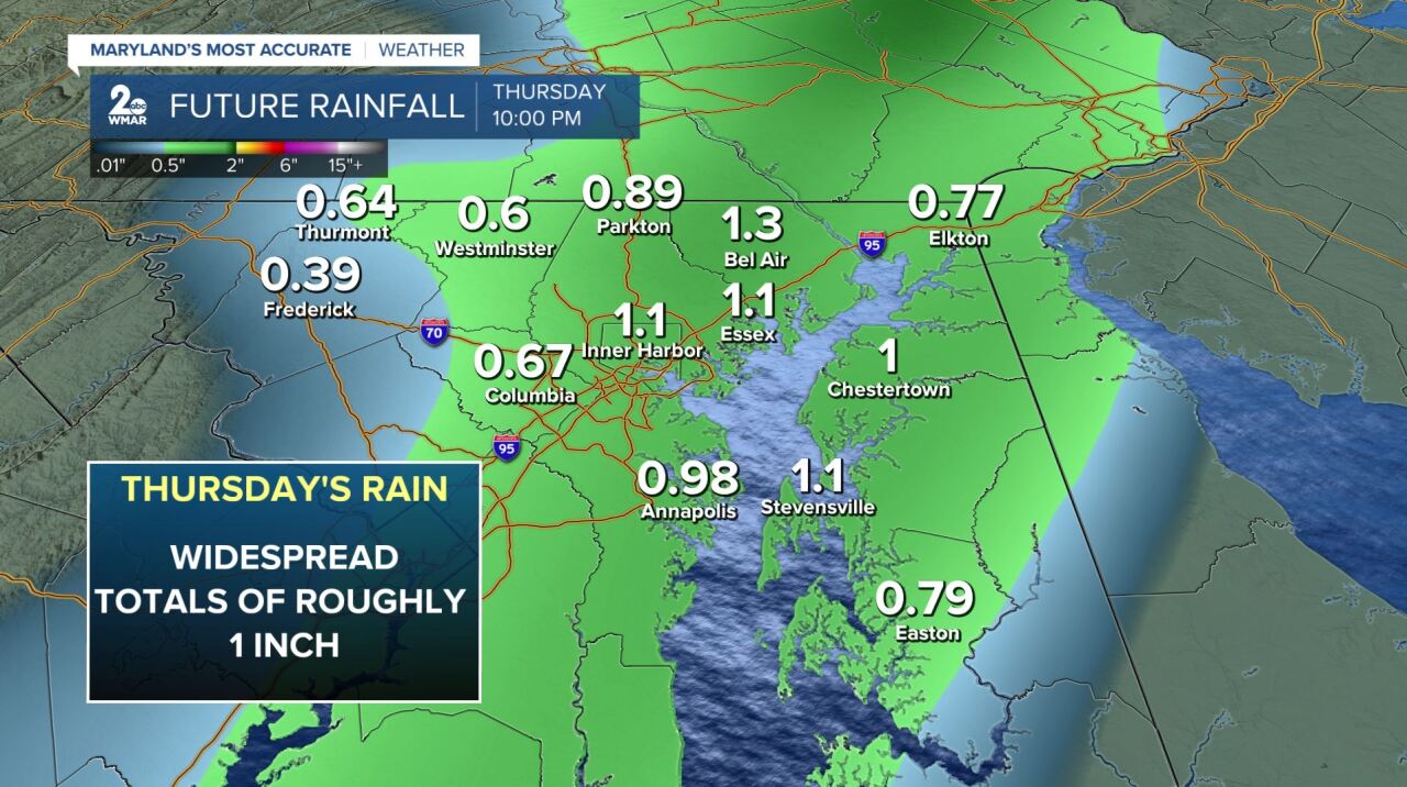
Overall, model guidance indicates that most locations could see up to 1" of rain throughout the day on Thursday.
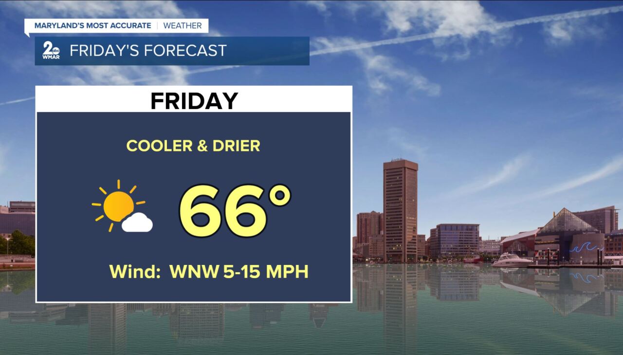
Once the cold front clears Thursday night, cooler air filters in behind it! Your Friday forecast is looking drier and cooler with highs in the mid-60s. This is due to winds shifting more northwesterly. It will feel more fall-like as we wrap up the work week with plenty of sunshine!
#StayTuned
#StevieDanielsWX
www.facebook.com/StevieDanielsWX
www.twitter.com/StevieDanielsWX
Instagram: stevie_daniels_
