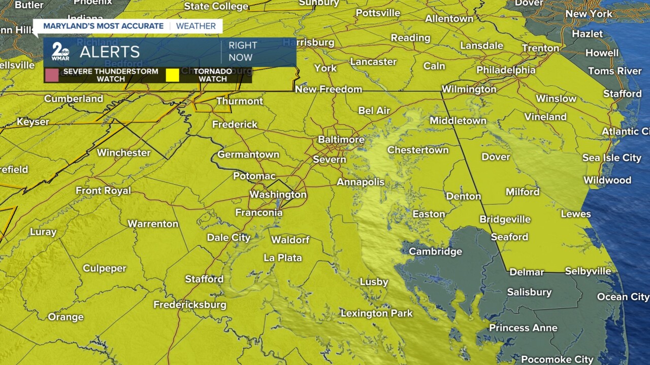
BALTIMORE — A tornado watch is in place for most of the central Maryland until 9pm, but the Eastern Shore is not out of the woods until 11pm Monday night.
A very hot and humid setup is over top of the Mid-Atlantic today giving us the potential for a severe weather outbreak if everything lines up perfectly. As we expect temperatures to jump into the upper 80s and low 90s along with dew points in the low to mid 70s, this gives storms later this afternoon the ample amount of fuel to really create a potentially dangerous situation.

Given this setup, the Storm Prediction Center has placed a large swath of central Maryland under a moderate risk (level 4/5) for this afternoon. The potential for destructive wind is very high with a swath of central Maryland even under a high risk for wind gusts over 70 mph. This would mean that winds would border if not reach the destructive level where large trees and power lines could easily be knocked down. The timing for the storms will be between 2 pm through 8 pm as it pushes off into Delaware and the ocean.
There is also an elevated risk for tornadoes that would be embedded in the line of storms and any supercells that spark up ahead of the main line. Large hail cannot be ruled out either as we see an elevated risk as well.
Given the high potential for the sever weather, be sure to have a plan in place before the storms arrive. Make sure to have ways to get alerts and updates throughout the day to stay best informed. Know the location you are in and how today could impact you. Also, make sure to have your cellphones fully charged and some extra water in case of any unfortunate scenarios.
Be safe and smart today Maryland!


