An upper level trough is bringing a few spotty showers and isolated storms this morning.

Lynette Charles
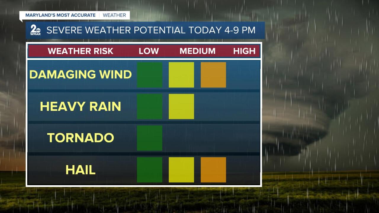
Expect another and more potent round of scattered showers and storms this afternoon/evening, courtesy of a cold front.

Lynette Charles
Some storms may be severe with damaging wind and large hail as the primary threats.

Lynette Charles
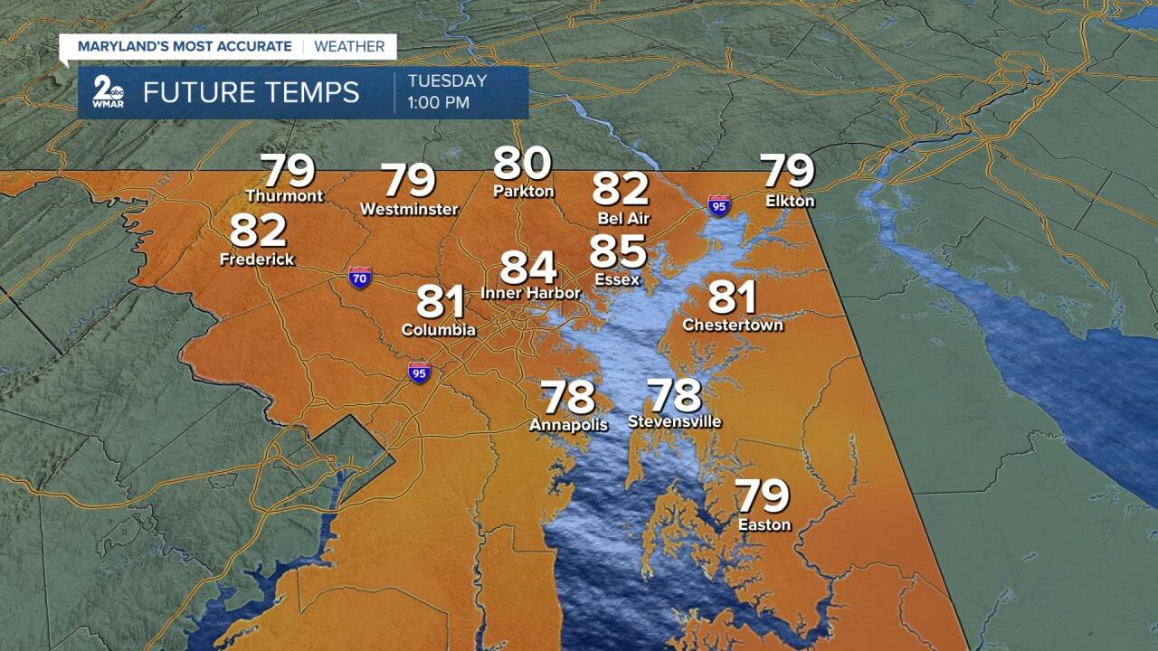
Ahead of the front, temps will rise above normal into the low to mid 80s on a southwesterly flow.

Lynette Charles
Cooler, more seasonal conditions will prevail behind the front on Wednesday into the end of the work week with highs in the low to mid 70s.

Lynette Charles
Do you know what that means? Sweater weather!
#staytuned
https://www.facebook.com/Lynetteweather


